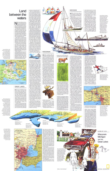
Part of the "Close-up: U.S.A." series, the "Wisconsin, Michigan, and the Great Lakes: Land Between the Waters" travel map is half of a two-map set, accompanied by the Wisconsin, Michigan, and the Great Lakes map. Published in August 1973, it contains inset maps of the Welland Canal and selected rivers as well as travel information and tips for motorists.
The 1973 Wisconsin, Michigan, and the Great Lakes: Land Between the Waters map features:• An introduction to the region
• Insets of the Detroit and St. Clair Rivers, St. Mary's River, and the Welland Canal
• An illustration of the Great Lakes showing their individual sizes, depths, and volumes
• Travel articles on Wisconsin, Michigan, and the Great Lakes
• Tips for motorists
• Colorful illustrations
Coverage Area: Wisconsin, Michigan, Great Lakes
| Geography | Wisconsin |
|---|---|
| Geotype | Region |
| Map Type | Historical Maps |
| Publisher | NG Classic |
| Usage Type | Classroom Maps |


