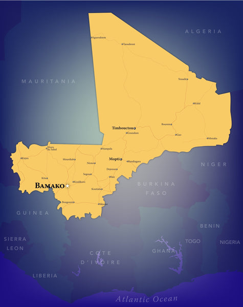
This map of the country of Mali is richly colored and in atlas style which shows portions of neighboring countries.
This Wall Map of Mali features:
- Cities
- County Borders
- Interstates/Highways
- Secondary Roads
- International Borders
- Capitals
The coverage are for this map is: Mali and surrounding countries
| Geography | Mali |
|---|---|
| Geotype | Country |
| Map Type | Territory Maps |
| Publisher | Olason Cartographic Artistry |
| Usage Type | Decor Maps |


