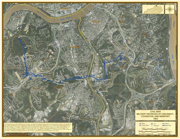
This is a map of the Defences of Cincinnati in 1862. It shows what was put in place to defend an attack from the south. What makes this map different is that historical data is taken from actual battlefield maps and overlaid upon modern 2004 Aerial Photography. This gives a unique look at where rifle pits, battery locations, bridges, military roads, and felled trees were in relation to what the land looks like today. A detailed legend is included as well as full descriptions of commanders involved.
- Cities
- State Borders
- County Borders
- Interstates/Highways
- Secondary Roads
- Railroads
- Legend
- Insets
| Geography | Cincinnati |
|---|---|
| Geotype | City |
| Map Type | Historical Maps |
| Publisher | Mappalachia |
| Usage Type | Classroom Maps |


